About
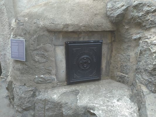
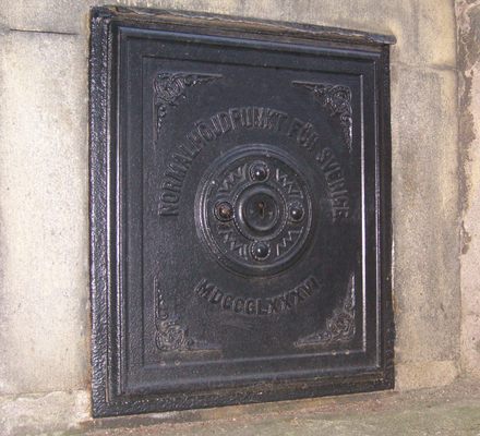
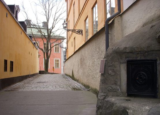
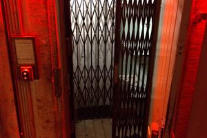
When walking across a little alley called Schering Rosenhanes gränd, you’ll find a large rock protruding from the wall with a small metal door inside of it. It may not look special, but don’t write it off just yet—it’s actually the Normalhöjdpunkten, Sweden’s official ordnance datum.
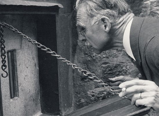
This datum was used as the main reference point for all other datums in Sweden and allowed surveyors to create accurate maps and sea level calculations. Inside the safe, there’s a small silver rod placed into a cut in the wall. This rod is located 11.8 meters above the average sea level, with a one-millimeter degree of accuracy.
Based on this datum, the Swedish government made the Ordnance Survey Map, an initially secret map used exclusively by military and government agencies. The first editions from 1820 to 1857 were colloquially called the “Secret Plates” because of their clandestine conditions.
After the maps were declassified, they were made public and future revisions could be made. The maps were published in two series, one for southern Sweden and one for northern Sweden. The southern part contains 110 maps on a 1:100,000 scale and the northern part consists of 84 maps on a 1:200,000 scale.
The datum was created by Professor PG Rosén, who chose its location largely because it was a convenient spot. The General Staff responsible for the datum was located at Riddarholmen, and therefore it was desirable to have the main instrument also at Riddarholmen.
These days the datum is no longer used because most of Western Europe now relies on the Amsterdam Ordnance Datum.
Related Tags
Know Before You Go
The location is freely accessible, but it is impossible to see the inside of the datum.
Published
December 14, 2018
