About
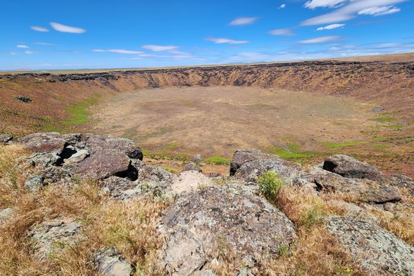
Although Nevada's geologic history is replete with volcanic activity, evidence of recent historical activity is absent—except for the Soda Lakes craters. They certainly have erupted since Pleistocene Lake Lahontan, as they're cut into Lahontan sediments, and recent evidence suggests they may have erupted within the last 1,500 years.
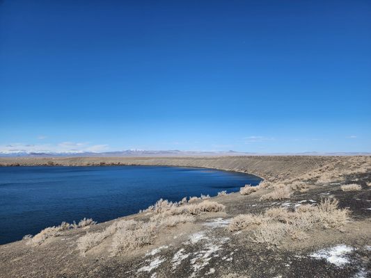
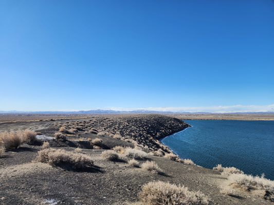
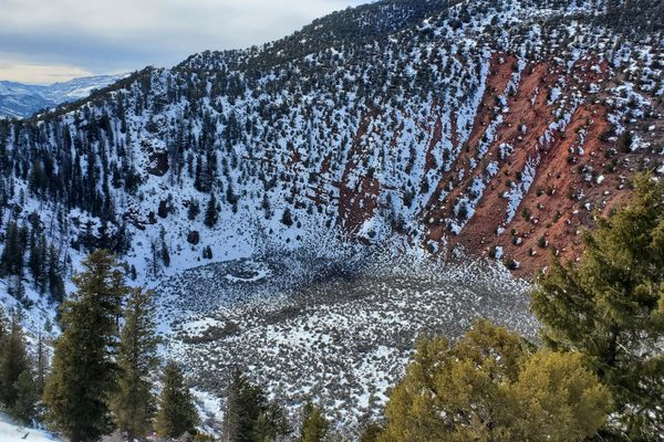
Big Soda Lake (or just "Soda Lake") is about 0.7 by 0.9 miles (1.1 x 1.5 km) across, while Little Soda Lake, to the southwest, is about 1,000 feet (300 m) across. The craters are maars (German dialect for "lake"), which form when hot magma boils groundwater to cause a steam explosion. Some of the surrounding material gets caught up in the explosion and is thrown out, along with fragments of magma. This debris then piles up in a ring around the vent. Unlike other volcanic eruptions, however, a mass of magma never gets extruded as lava.
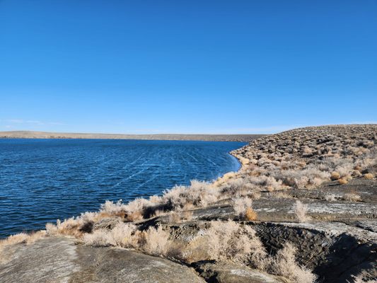
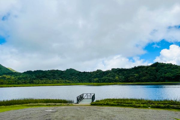
Until the building of the Newlands irrigation project in the early 1900s, the level of (Big) Soda Lake was considerably lower and it was also saline, with the dissolved salts largely carbonates. In fact, a salt works extracted sodium carbonate (washing soda) from the water commercially. With the raising of the groundwater level after irrigation began, however, the lake level rose some 60 feet (18 m), flooding out the old works, and the water became considerably fresher. It's reported that the old salt works are now a popular site for scuba diving. Although still too alkaline for fish, the water does support aquatic vegetation, which in turn supports a waterfowl population.
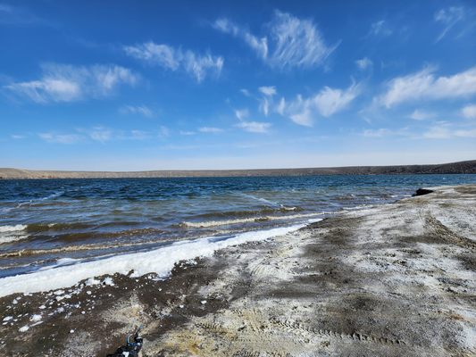
Since the rise of the water level, too, tufa (a form of freshwater limestone) has been precipitating in Soda Lake (see pictures). Tufa deposits are abundant around ancient Lake Lahontan and evidently form easily when the chemical conditions are right.
The U.S. Geological Survey has added these craters to its catalog of potential volcanic hazards. It is the only entry in Nevada, no doubt to the dismay of civic boosters in Fallon. Operating geothermal plants on the northeast side of the craters also indicate the presence of a heat source, possibly magma, at a relatively shallow depth.
Related Tags
Know Before You Go
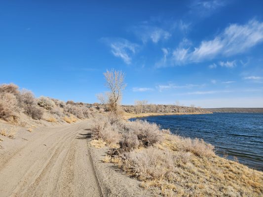
One straightforward route is as follows: take Soda Lake Road (Nevada SR 723) north 2 miles from US 50 to Cox Road and turn left (west). The prominent ridge to the northwest is actually the rim of Big Soda Lake. Proceed 0.8 miles on Cox Road and turn right onto a primitive road. Follow this road north 0.5 mile to the rim of Big Soda Lake. A road then follows this rim all around the lake. High clearance is advised on these roads, and 4wd will probably be required in wet weather. The eastern part of Big Soda Lake is a Churchill County park, but at least as of September 2021 the whole rim road remains publicly accessible.
The north side of Little Soda Lake can be reached via a short track off the rim road on the southwest side of Big Soda Lake. The south side is privately owned and so is not accessible.
Published
February 7, 2022


