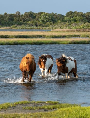
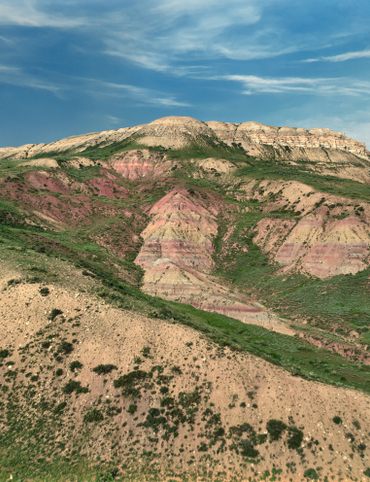
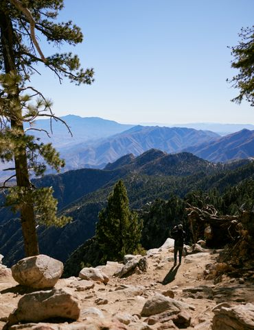
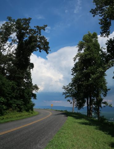
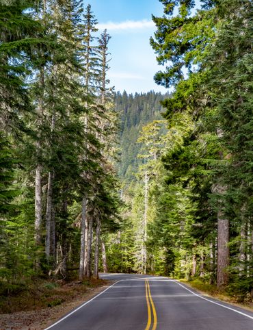
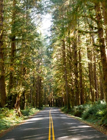
Experience the solitude and adventure of Colorado’s hidden natural wonders.
Discover the Secrets of Colorado’s Mountains and Valleys

Between all the world-class kayaking, hiking, and biking available in Colorado, you’re bound to find adventure-lovers around every corner this summer. But sometimes, what you really want is wide-open spaces, quiet vistas, and your footprints as your only company. In short, you want adventure on the secluded side. Luckily, in Colorado, there’s no shortage of hidden wonder.
This itinerary will take you to a pristine mountain-top lake, under a triple waterfall, through majestic peaks on a historic railway, and over an iconic mountain pass on the state’s oldest aerial tram. There’s solitude to be found on this trip, but there’s also the thrill of finding some of Colorado’s best kept secrets.
If you’re headed into the backcountry, follow these tips to stay safe and Do Colorado Right.
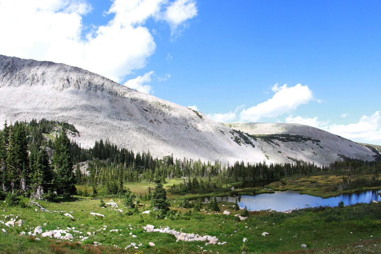
1. Blue Lake
The Rawah Wilderness Area is a 1.5-million acre grassland and forest in northern Colorado. Though it’s one of the most visited national forests in the country, there are still hidden treasures strewn about this vast backcountry.
One is the Blue Lake, near Fort Collins. The departure of a massive glacier left behind a series of 26 lakes ranging in size from five to 39 acres, including Blue Lake. This under-appreciated hike is accessible via the Blue Lake Trailhead, which is itself reached by a scenic drive along the Cache la Poudre-North Park Scenic Byway. Consider it two adventures in one!
The ten-mile out-and-back trail starts at 9,495 feet, and offers a view of Chambers Lake before reaching Blue Lake itself. You’ll ford streams, traverse meadows, and stroll beneath the shade of spruce and fir trees as you make your way in from the trailhead. Once there, hikers can take a stunningly scenic breather before pressing onto Blue Lake Pass at over 11,000 feet. From there, you’ll see views of Rocky Mountain National Park to the south.
Rawah Wilderness, Jelm, Colorado 82063
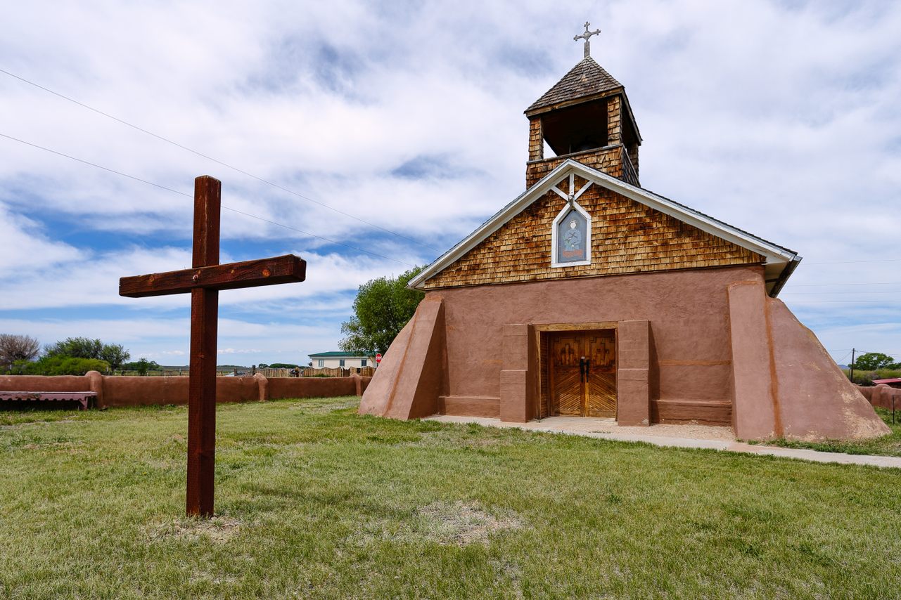
2. Conejos River Valley
Spanning over 90 miles, the Conejos River is a tributary of the Rio Grande River, and is known for both rafting and fly fishing. With high cliffs and open meadows, it’s a perfect spot for anglers, nature-lovers, and history buffs alike. While the entire Conejos River Valley is full of adventure, perhaps the best way to explore the expansive valley is the 129-mile long Los Caminos Antiguos Scenic and Historic Byway.
This scenic road will take you through the valley to the New Mexico border and through the Sangre de Cristo National Heritage Area, rich with the region’s Native American, Hispano, and Anglo histories. A confluence of cultures—German, Dutch, Indigenous, Japanese, and more—all contributed to the history and character of the region. You’ll travel through state and national parks, through wildlife refuges and alpine deserts. You’ll even pass through San Luis, the state’s oldest town.
There are signs and kiosks along the way providing information on the region’s sites and histories. While the drive can take as little as three hours, it can easily be expanded into a multi-day affair.
408 Main Street, San Luis, Colorado
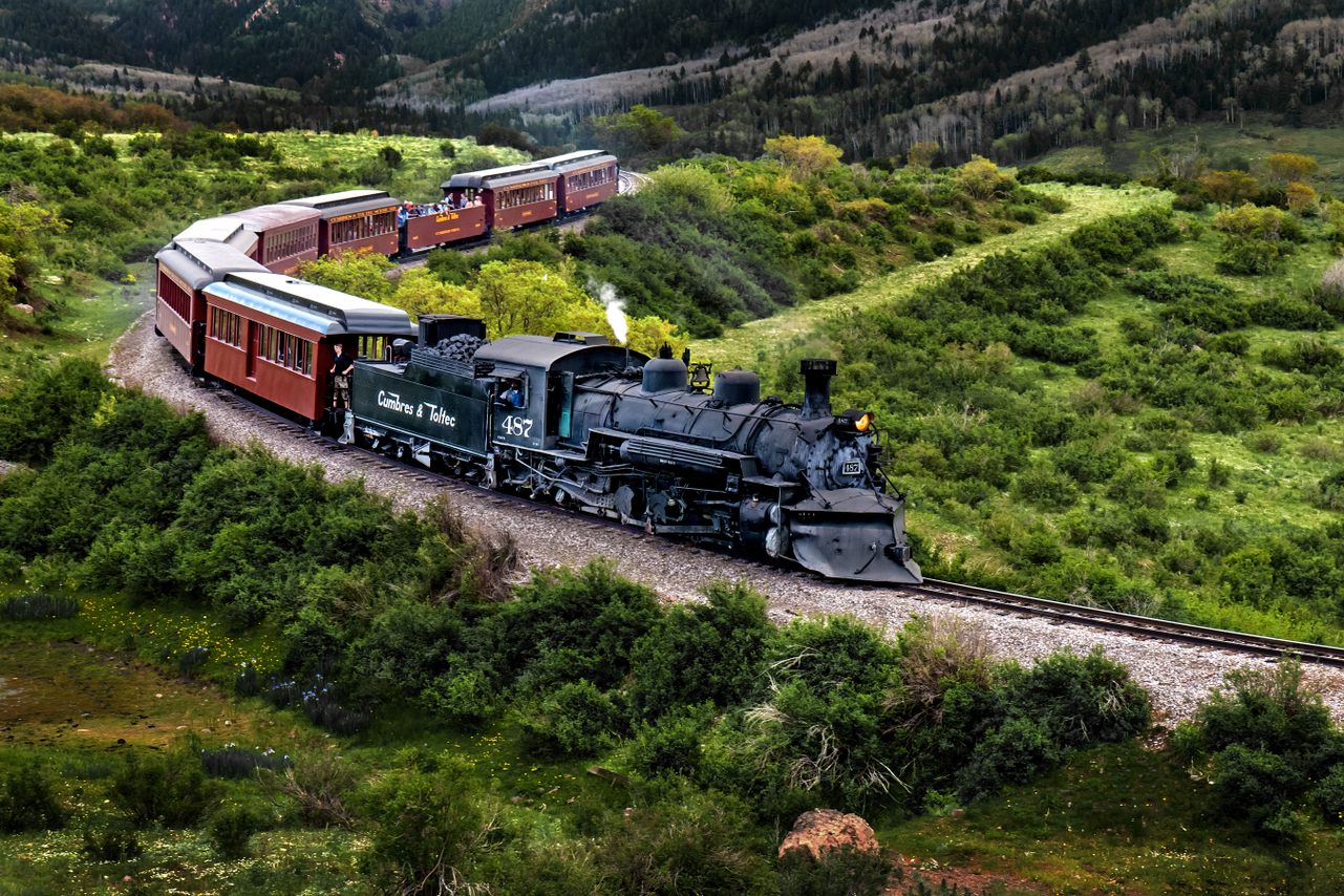
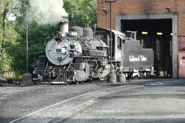
3. Cumbres & Toltec Scenic Railroad
Narrow gauge railroads were once the best ways to connect remote, mountainous mines to their respective boom towns during the late 1870s. When time rendered them obsolete, most of these beasts of the industrial age were either retired or had their routes repurposed as scenic drives—most, but not all.
While the Cumbres & Toltec Railroad enjoyed some life after the silver bust of 1893, the line was ultimately abandoned in 1969. While most of the track was dismantled, a plucky group of preservationists managed to save the tracks running through some of the area’s most striking landscapes, turning it into a 64-mile scenic trip that is now America’s longest and highest narrow gauge railroad.
You’ll travel through tunnels and over trestles, in elevations ranging from 7,000 to 10,000 feet. Keep an eye out for the area’s wildlife—deer, elk, and bears—as you go along. You’ll also spot wildflowers, mountain streams, a ghost town, historic buildings, and the breathtaking Toltec Gorge, with its 600-foot-deep rock walls engulfing the train on either side. Travel in historic luxury in the Parlor Car—an adventure for those 21-and-up—or in the Coach Car, a simpler, but no-less scenic experience.
For those who don’t want to take the full ride, there are also half and express trips, as well as special trips like the Wildflower and Geology Trains, complete with stops and expert guides to point out the natural features along the way. You can also live out your railroading fantasies with Fireman and Engineering Classes where you’ll get a hands-on experience operating and maintaining the trains.
5234 US Hwy 285, Antonito, Colorado, 81120
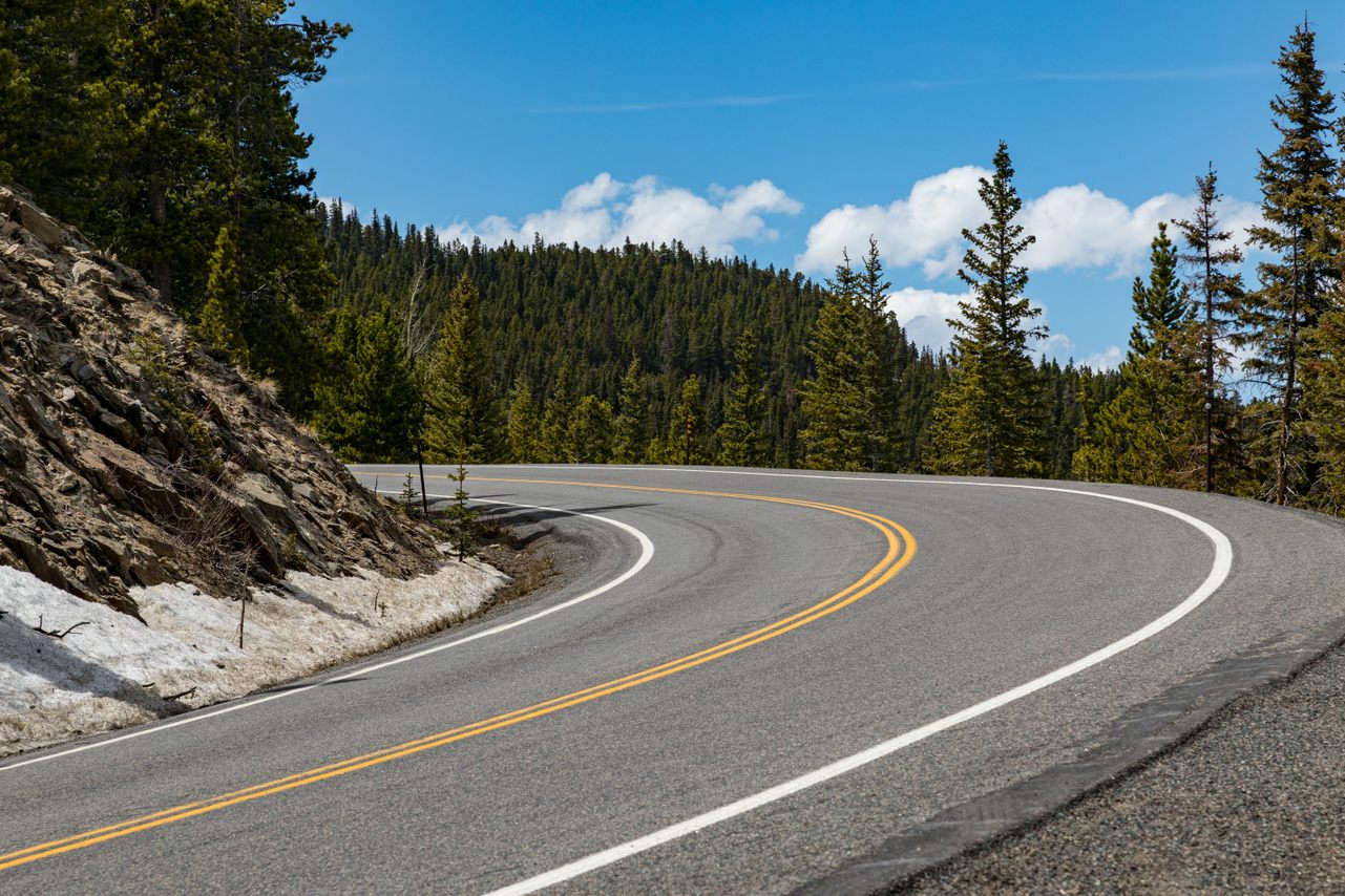
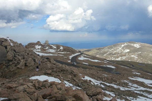
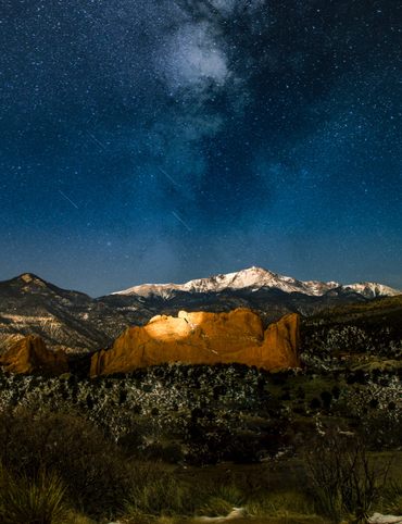
4. Mount Evans Scenic Byway
Take a drive on the highest paved road in North America and summit one of the state’s famous “14-ers” (one of the state’s 58 peaks above 14,000 feet). The 28-mile Mount Evans Scenic Byway rises an astonishing 14,260 feet above sea level, and from that high up, there’s not much obstructing your view. But before you get to the peak of this climb, there’s a lot to see along the way.
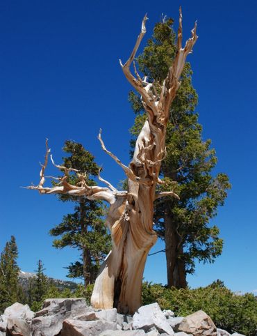
The drive is rife with switchbacks, curves, and hairpin turns beside steep drop offs. In and amongst the route’s dynamic roadway, there’s an amazing array of natural beauty. Pop into the Mount Goliath Natural Area to visit a pristine alpine forest maintained by the Denver Botanic Gardens, making it the highest cultivated garden in the country. The Pesman Trail is a short hike that meanders through picturesque woods filled with bristlecone pines and wildflowers.
Other noteworthy stops include Summit Lake, a serene mountain lake surrounded by wild goats as well as plants only found here and the Arctic Circle; there’s also Crest House, the storied ruins of a 1940’s-era building.
The road is open from Memorial Day to Labor Day, but even in the summer, conditions can change quickly. When summiting any 14er, be sure to check the weather, share your location, and pack the essentials. Timed passes are required for entry, which you can get here.
Evergreen, Colorado, 80439 United States
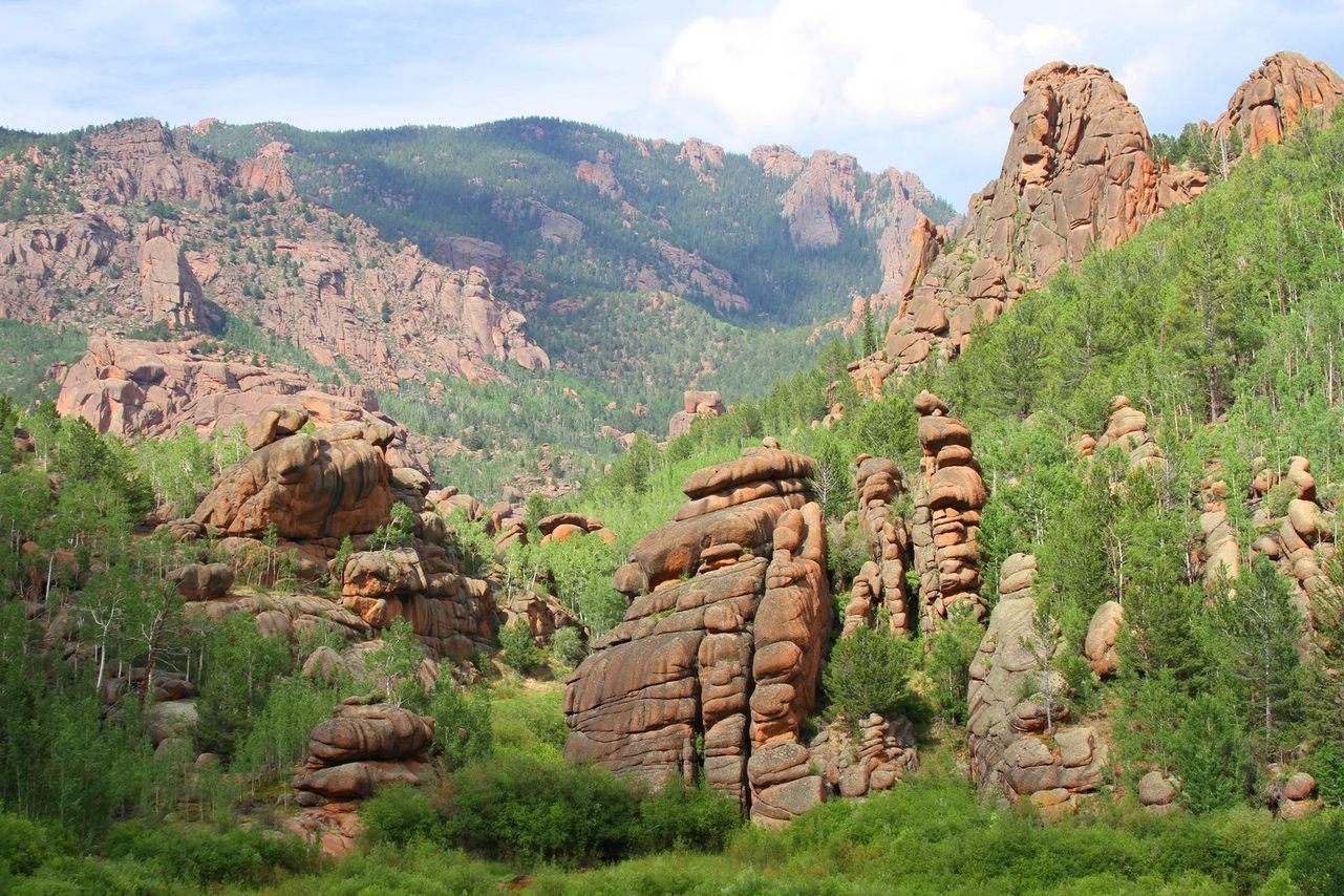
5. Lost Creek Wilderness
This roughly 120,000 acre wilderness area gets its name from a mysterious creek that disappears underground into rock piles, reappearing downstream at least nine times. A creek that performs a regular vanishing act would make this worth the trip alone, but what makes this a truly spectacular site are the red rock formations jutting out of the dense forest. Its proximity to Denver (just 60 miles away) makes this unsung getaway a no-brainer for a day trip from the Mile High City.
There are over 130 miles of trails criss-crossing the area, where you’ll witness geological splendor and dazzling forest biodiversity at every turn. There are granite domes and arches, narrow ridges, forested areas, and gorges; There’s also abundant wildlife with black bears, bighorn sheep, deer, elk, and bobcats. Head out just past the Lost Park campground to find another natural wonder—a mini-canyon formed by narrowing rock walls.
If you want to spend a little more time in nature, camping is allowed, and there are many spots to set up your site.
Bailey, Colorado 80421
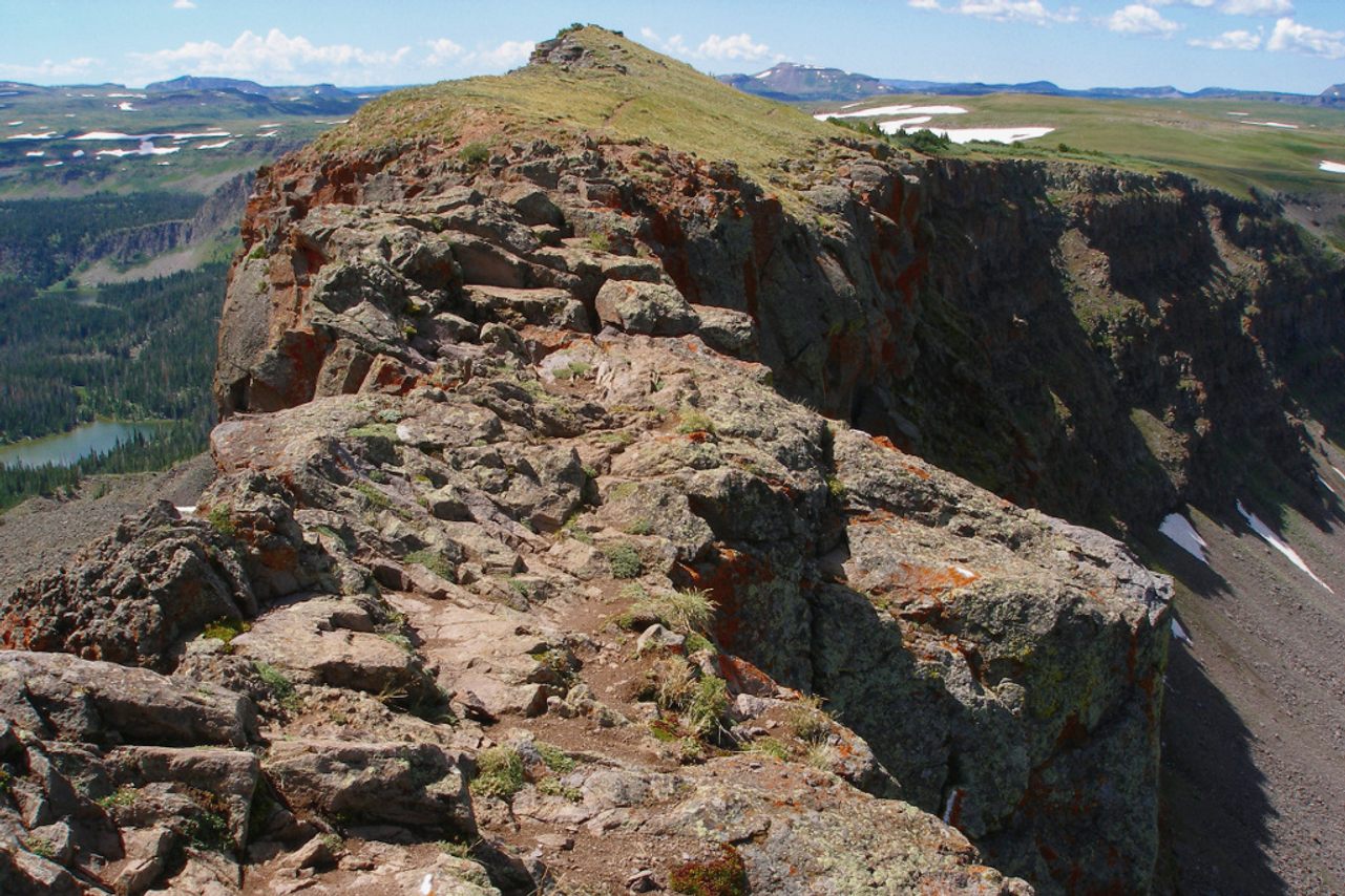
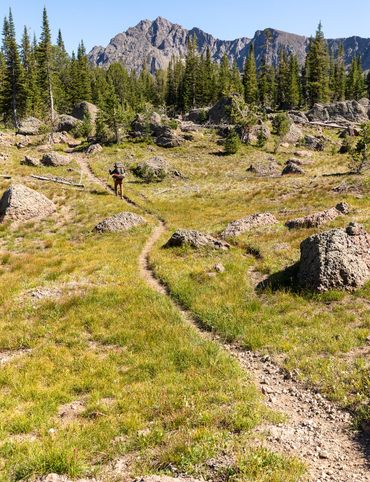
6. Devil’s Causeway
A who has spent much time in the backcountry has snaked, hopped, or crawled over any number of cumbersome obstacles to reach the perfect patch of untamed wilderness. To call Devil’s Causeway a “narrow pass,” however, may be an understatement.
This slender ridge outside of Yampa, is, at certain points, just three feet wide. At nearly 12,000 feet, the sheer drop-offs on either side aren’t exactly an acrophobe’s dream either. But if you can do it, you’ll be find some of the most beautiful views in the state: Wide open meadows dotted with wildflowers, arching rock faces pushing up against the sky, even a lake—Little Causeway Lake—that you’ll see before reaching the infamous Causeway.
The hike itself isn’t a particularly long one—just a six mile round trip at its shortest and ten miles if you take the loop that passes the Stillwater Reservoir. But what it lacks in mileage, it certainly makes up for in ruggedness and adventure.
Yampa, Colorado 80483
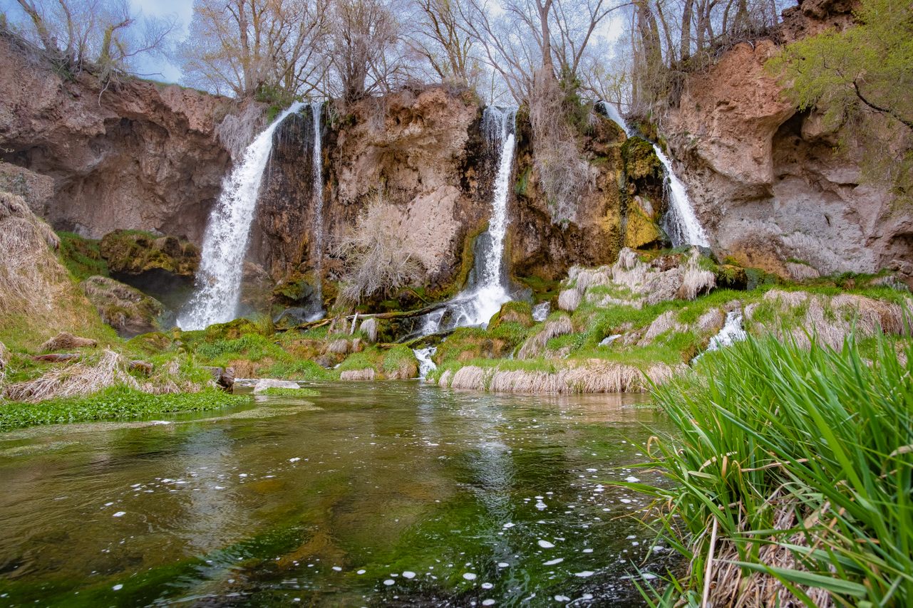
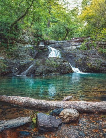
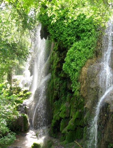
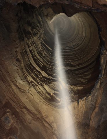
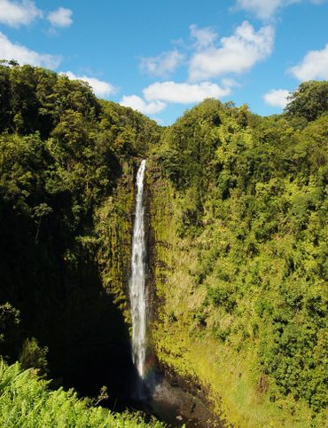
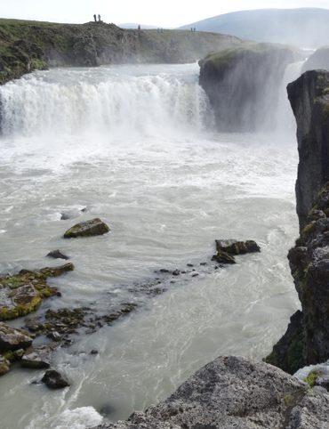
7. Rifle Falls
There’s only one triple waterfall in Colorado, and it’s found in Rifle Falls State Park. While this isn’t a place for those seeking solitude—it’s fairly busy in summer months—it is a place for people looking to glimpse one of the state’s unusual natural features in a fairly easy, low-key way.
The park offers several hiking trails, one of which leading up and behind the 60-foot falls themselves. Another trail leads to a set of limestone caves. There’s a large main cave and several smaller ones, some of which require a bit of crawling to fully explore. Though it’s a popular spot for day-trippers, there are also 20 campsites for overnighters. All campsites include picnic tables and fire pits, with the drive-in sites including electricity for those who like their roughing it a little less rough.
Visitors of all kinds can enjoy the park’s three hiking trails, two of which are ADA accessible. The newest of the three, the Bobcat Trail, also provides access to the Rifle Falls State Fish Hatchery. In the busy months, parking is limited, and you may be turned away if the lot is full. If so, the nearby Rifle Mountain Park and fish hatchery are great diversions while you wait.
5775 Highway 325 Rifle, Colorado 81650
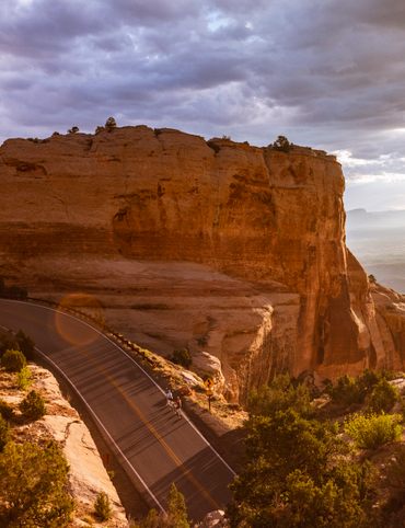
8. Old Monarch Pass
Old Monarch Pass—a mountain pass on the Continental Divide cutting through the Sawatch Range—was, in its heyday, a vital connection for stagecoaches and wagons trying to get to and from mining camps in Salida and Gunnison. With the end of the mining boom, and better transportation options, this road is now a scenic drive over the Sawatch Range, snaking through the mountains at over 11,000 feet.
Because today’s drivers have it much easier than the stagecoaches of yore, reaching the pass is fairly easy via US Highway 50. While the uphill mountain views are stellar, the drive isn’t the only attraction. If you’re visiting in the summer, be sure to take a ride on the Monarch Ridge aerial tram.
This is the oldest working tramway in the state, and offers sweeping views of the Continental Divide. At the top, take in the view from the observation center with 360-degree views of the nearby San Juan Mountains. On a clear day, that view extends to reveal five mountain ranges and sites up to 150 miles away. Pikes Peak, a two-hour drive away, can sometimes be seen from the top of the 12,000 foot tram.
Can’t make it in the summer? Don’t worry. There’s also plenty to do in the winter in the nearby Monarch Mountain ski area.
Monarch Crest, 24500 US-50, Salida, Colorado 81201
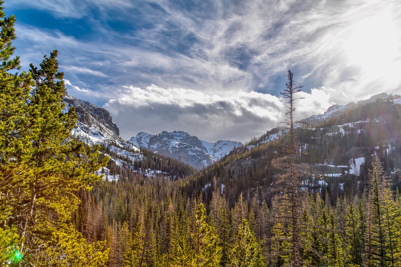
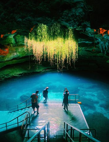
9. Sky Pond and Lake of Glass
This hidden gem of a hike in Rocky Mountain National Park is a tough one, and best for experienced hikers. But if that describes you, then you’re in for an exciting time at this little-visited feature of an iconic park.
This eight-mile hike begins at the Glacier Gorge Trailhead. Along the way, you’ll pass Alberta Falls about a half-mile in. If this is where you need to stop, don’t worry, there’s still a spectacular view: 30-foot falls cascading over rocks into Glacier Creek below. If you’re heading to the main event, you’ll also pass by the Timberline Falls shortly after. If that’s not enough waterfall for you, keep pushing up a steep slope to the right of the falls to see Lake of Glass Falls. When you reach a dazzling, greenish-colored lake filled with trout, you’re at the Lake of Glass itself—though there’s still a bit more to go.
Just another quarter mile and you’ll have reached the even larger Sky Pond: a crystalline body of water sitting at an elevation of nearly 11,000 feet surrounded by rugged cliffs. From its shores, you’ll see the Petit Grepon, the Sabre, and Sharkstooth—the three prominent peaks dramatically framing a lake so rarely visited by humans.
Catch your breath. Take in the scene, the silence, the stillness, and get ready to see it all again in reverse.
8965+4R Estes Park, Colorado
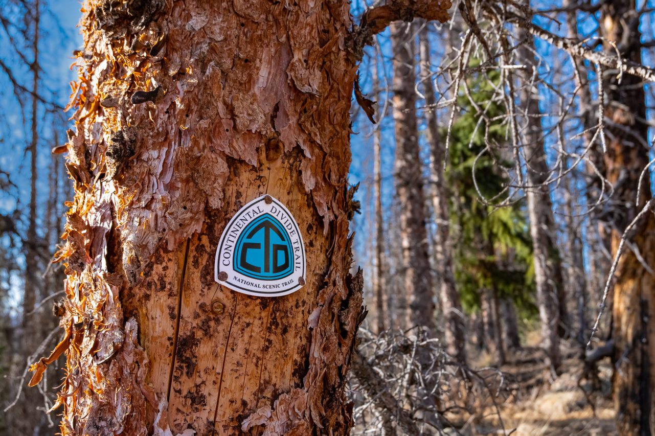
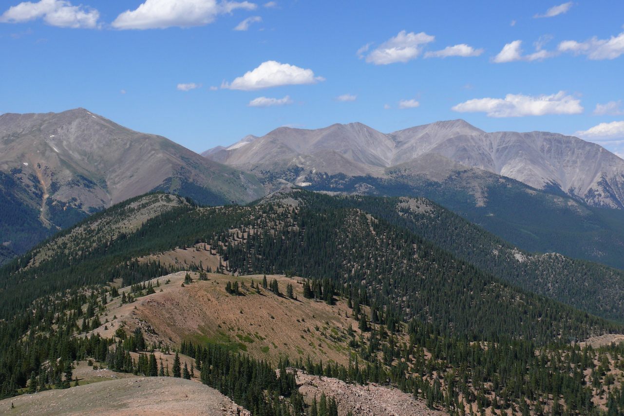
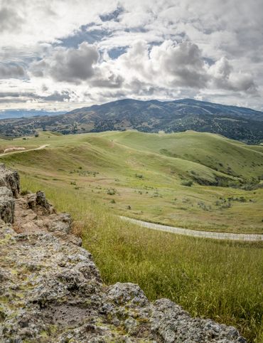
10. Snow Mesa
Snow Mesa is for the traveler seeking silence and solitude—and steps. Located on the Continental Divide, it’s part of both the Colorado and the Continental Divide Trails. It's within the largest tundra in the lower 48 states, and because it’s a fairly difficult hike, you’re unlikely to meet many others while out there. But even if there are a few others sharing the trail, it will in no way impede the stellar view of the Uncompahgre, Wetterhorn and Matterhorn Peaks from the plateau up top. The Uncompahgre and the Wetterhorn are two of the state's famous 14ers, and while the Matterhorn doesn’t make the cut at 13,596-feet, it’s still an incredible sight.
The 5.6 mile hike can take as few as three hours, you can extend it to a longer backpacking trip by heading all the way to San Luis Peak—yet another 14er.
Colorado 81235
This post is sponsored by Visit Colorado.

Gastro Obscura’s 10 Essential Places to Eat and Drink in Oaxaca

A Gastro Obscura Guide to Family-Friendly Dining in San Diego
The Explorer’s Guide to Outdoor Wonders In Maryland

The Secret Lives of Cities: Ljubljana

From Cigar Boom to Culinary Gem: 10 Essential Spots in Ybor City
The Explorer’s Guide to Wyoming’s Captivating History
A Nature Lover’s Guide to Sarasota: 9 Wild & Tranquil Spots
California’s Unbelievable Landscapes: A Guide to Nature’s Masterpieces

The Ultimate California Guide to Tide Pools and Coastal Marine Life
Explore California on Foot: Nature’s Year-Round Playground

Mardi Gras 9 Ways: Parades, Cajun Music, And Courirs Across Louisiana

The Explorer’s Guide to Winter in Germany
Ancient California: A Journey Through Time and Prehistoric Places
The Wildest West: Explore California’s Ghost Towns and Gold Fever Legacy

Sweet California: A Culinary Guide to Tasty Treats Across the State
Sea of Wonders: An Itinerary Through California’s Stunning Shoreline

10 Places to Taste Catalonia’s Gastronomic Treasures
Atlas Obscura’s Guide to Palm Springs
Atlas Obscura’s Guide to the 10 Most Mystifying Places in Illinois
10 Fascinating Sites That Bring Idaho History to Life

North Carolina's Paranormal Places, Scary Stories, & Local Haunts
Exploring Missouri’s Legends: Unveiling the Stories Behind the State’s Iconic Figures

These Restaurants Are Dishing Out Alabama’s Most Distinctive Food

A Gastro Obscura Guide to Los Cabos
9 Watery Wonders on Florida’s Gulf Coast
Discover the Surprising and Hidden History of Monterey County

Gastro Obscura’s Guide to Eating Your Way Through Charlotte
Talimena Scenic Byway: 6 Essential Stops for Your Arkansas Road Trip
9 Amazing Arkansas Adventures Along the Scenic 7 Byway
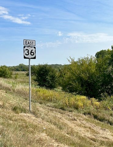
The Explorer's Guide to Highway 36: The Way of American Genius

A Behind-the-Scenes Guide to DC’s Art and Music

9 Places Near Las Vegas For a Different Kind of Tailgate

10 Places to See Amazing Art on Florida's Gulf Coast

8 Reasons Why You Should Visit the Bradenton Area

A Music Lover’s Guide to New Orleans

Gastro Obscura’s Guide to Sipping Wine in Catalonia

9 Hidden Wonders in the Heart of Kansas City
10 Unexpected Delights of Vermont's Arts and Culture Scene

Gastro Obscura’s Guide to Eating Through Maine

The Gastro Obscura Guide to Asheville Area Eats

Gastro Obscura’s Guide to St. Pete/Clearwater
9 Hidden Wonders in Eastern Colorado
7 Places to Experience Big Wonder in Texas

8 Out-There Art Destinations in Texas
6 Ways To See Texas Below the Surface
9 Places to Dive Into Fresh Texas Waters
7 Ways to Explore Music (and History) in Texas

8 Ways to Discover Texas’ Rich History
The Explorer’s Guide to the Northern Territory, Australia

The Explorer's Guide to U Street Corridor

Gastro Obscura Guide to Southern Eats

Only In Delaware

The Secret History & Hidden Wonders of Charlotte, North Carolina
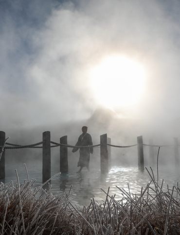
Exploring Colorado's Historic Hot Springs Loop
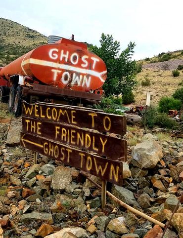
These 8 Arizona Ghost Towns Will Transport You to the Wild West
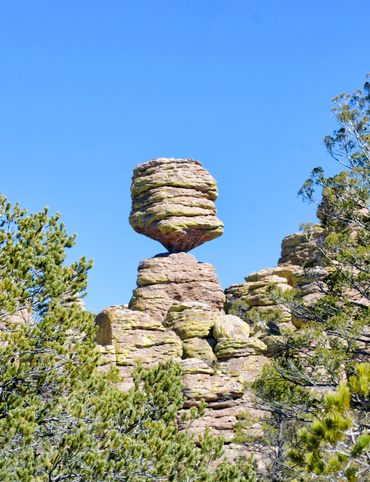
A Guide to Arizona’s Most Striking Natural Wonders
The Explorer's Guide to Hudson Valley, New York
Discover the Endless Beauty of the Pine Tree State
Travel to New Heights Around the Pine Tree State
8 Historical Must-Sees in Granbury, Texas
7 Creative Ways to Take in San Antonio’s Culture
Eat Across the Blue Ridge Parkway

6 Ways to Absorb Addison, Texas’ Arts and Culture

6 Ways to Take in the History of Mesquite, Texas

6 Ways to Soak Up Plano’s Art and Culture
9 Dallas Spots for Unique Art and Culture
7 Sites of Small-Town History in Waxahachie, Texas

6 Natural Wonders to Discover in Austin, Texas
A Road Trip Into Colorado’s Prehistoric Past

A Feminist Road Trip Across the U.S.
All Points South
Asheville: Off the Beaten Path

Restless Spirits of Louisiana

Eat Across Route 66

18 Mini Golf Courses You Should Go Out of Your Way to Play

4 Underwater Wonders of Florida
6 Spots Where the World Comes to Delaware

Study Guide: Road Trip from Knoxville to Nashville
Rogue Routes: The Road to Pikes Peak

6 Wondrous Places to Get Tipsy in Missouri

Rogue Routes: The Road to Carhenge
4 Pop-Culture Marvels in Iowa
7 Stone Spectacles in Georgia
6 Stone-Cold Stunners in Idaho
8 Historic Spots to Stop Along Mississippi's Most Famous River
5 Incredible Trees You Can Find Only in Indiana

5 Famous and Delightfully Obscure Folks Buried in Kentucky
4 Wacky Wooden Buildings in Wyoming
7 Spots to Explore New Jersey’s Horrors, Hauntings, and Hoaxes

4 Out-There Exhibits Found Only in Nebraska

6 Sweet and Savory Snacks Concocted in Utah
12 Places in Massachusetts Where Literature Comes to Life

8 Places to Get Musical in Minnesota

8 Buildings That Prove Oklahoma's an Eclectic Art Paradise

9 Stunning Scientific Sites in Illinois

5 Strange and Satanic Spots in New Hampshire
8 Historic Military Relics in Maryland

5 of Colorado's Least-Natural Wonders
Rogue Routes: The Road to Sky’s the Limit
6 Hallowed Grounds in South Carolina
9 Rocking Places in Vermont

Knoxville Study Guide

Nashville Study Guide
Rogue Routes: The Road to Camp Colton

Black Apples and 6 Other Southern Specialties Thriving in Arkansas

4 Monuments to Alabama’s Beloved Animals
The Dark History of West Virginia in 9 Sites
11 Zany Collections That Prove Wisconsin's Quirkiness
7 Inexplicably Huge Animals in South Dakota

6 Fascinating Medical Marvels in Pennsylvania

8 Places in Virginia That Aren’t What They Seem
7 Cool, Creepy, and Unusual Graves Found in North Carolina
7 of Montana's Spellbinding Stone Structures
9 of Oregon’s Most Fascinating Holes and Hollows

Take to the Skies With These 9 Gravity-Defying Sites in Ohio
9 Strange and Surreal Spots in Washington State
8 Watery Wonders in Hawaiʻi, Without Setting Foot in the Ocean

6 Unusual Eats Curiously Cooked Up in Connecticut

11 Close Encounters With Aliens and Explosions in New Mexico

10 Places to Trip Way Out in Kansas

The Resilience of New York in 10 Remarkable Sites
7 Very Tall Things in Very Flat North Dakota
8 Blissfully Shady Spots to Escape the Arizona Sun
On the Run: NYC

On the Run: Los Angeles
9 Surprisingly Ancient Marvels in Modern California

10 Art Installations That Prove Everything's Bigger in Texas

6 Huge Things in Tiny Rhode Island
7 Underground Thrills Only Found in Tennessee
Sink Into 7 of Louisiana's Swampiest Secrets

7 Mechanical Marvels in Michigan
11 Wholesome Spots in Nevada

7 Places to Glimpse Maine's Rich Railroad History
11 Places Where Alaska Bursts Into Color

9 Places in D.C. That You're Probably Never Allowed to Go
2 Perfect Days in Pensacola
Rogue Routes: The Road to the Ice Castles

Taste of Tucson
North Iceland’s Untamed Coast

Hidden Edinburgh

Hidden Haight-Ashbury

The Many Flavors of NYC’s Five Boroughs

Hidden French Quarter

The Metropolitan Museum of Art
Motown to Music City Road Trip
Gulf Coast Road Trip
Hidden Coachella Valley

Highland Park

Venice

L.A.’s Downtown Arts District

Hidden Trafalgar Square

Secrets of NYC’s Five Boroughs

Mexico City's Centro Histórico
Hidden Hollywood

Hidden Times Square
Summer Radio Road-Trip
Amsterdam

Buenos Aires

Chicago

Detroit

Lisbon

Miami

Queens

San Diego